|
|
|
| GPH 111 - Intro to Physical Geography |
| Exercise 14 - Tempe Butte |
|
|
|
|
|
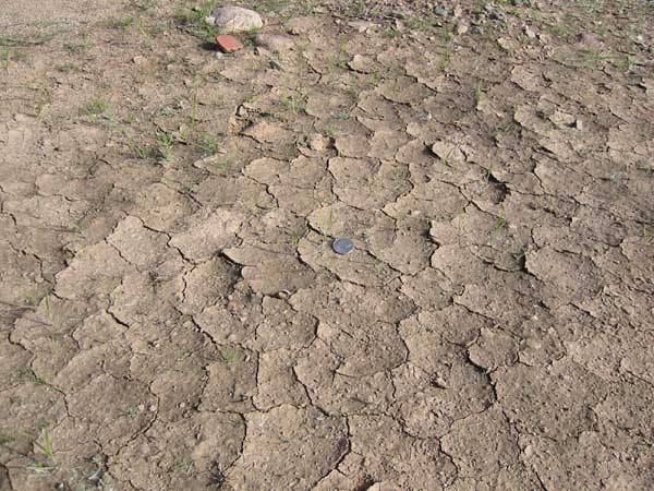
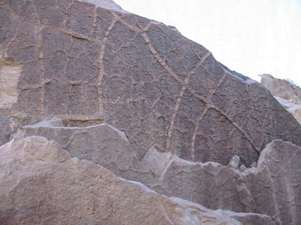
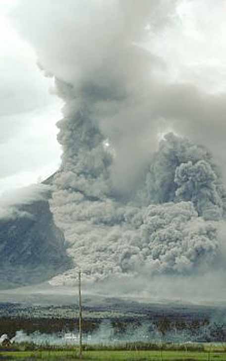
The upper image shows mudcracks you can see today on the north side of Tempe Butte, after mud dries out. The lower image shows some mudcracks preserved in rocks on the north side of Tempe Butte. Something that takes a few hours to form has been preserved for more than twenty million years. The mudcracks were preserved, because they were frozen in place by a volcanic eruption of the Superstition Mountains. Large eruptions that originated to the east settled here and filled in the mudcracks. Click here to see what the ash cloud from this type of volcanic eruption might have looked like. There are multiple
layers of rhyolite (rock name for the volcanic ash when it cools and hardens)
and shale (rock name for mud when it hardens), and each set of rhyolite/mud
has preserved mudcracks. The common occurrence of mudcracking suggests that
Tempe had a semi-arid climate during these volcanic eruptions. Perhaps, the
rhyolite was deposited onto a mudflat, created by a stream that flowed intermittently.
|
NAVIGATION: BACK TO STOP 9+10