|
Follow the Water Stop 10 of 13 (Site 10a) |
|
|
NAVIGATION: BACK TO STOP 10 MAIN PAGE
| GPH 211 - GEOMORPHOLOGY |
| MODULE FIVE - FOLLOW THE WATER |
|
Follow the Water Stop 10 of 13 (Site 10a) |
|
|
|
Follow the Water Stop 10 of 13 (Site 10a) Alluvial Fans: The region we are traveling through, the Basin and Range of California, is famous for alluvial fans. Alluvial fans are one of the classic landforms of desert geomorphology. As desert mountain streams exit the mountain front, they are loaded with sediment. A dramatic transition separates the steep mountain canyons and relatively shallow basin piedmont. With little water and a huge amount of sediment, the streams need a steep gradient to increase the amount of gravitational energy acting on the water and stream particles. While generally sufficiently steep in the mountains, once on the piedmont, the streams find themselves struggling to transport their heavy loads. <>As a result, they start dumping sediment on their channel floor. This raises the channel elevation, and increases the amount of energy available, but also leads to channel widening and eventually "channel avulsion". The channels on an alluvial fan are constantly (geologically speaking) changing their channel paths and as a result the surface of an alluvial fan can be relatively easily categorized by age. The image above shows an amazing display of alluvial fan surfaces of different ages. The darkness comes from the amount of rock varnish covering a fan surface. Over time, the alluvial fan gets darker and darker as more varnish covers the surface. Then, after about 200,000 years, erosion destroys the varnished surfaces and the fan gets lighter and lighter as the underlying calcrete soil is exposed by gullying.As populations continue to expand in the desert in metropolitan Phoenix, Las Vegas, El Paso and elsewhere -- people build homes on alluvial fans. This can cause some serious flooding hazards. This book explores the issue of people trying to build on alluvial fans. |
|
Graben Inside a Graben |
|
The road
going from Panamint Valley into Death Valley goes right through this
south with the Panamint Range on the left (east). 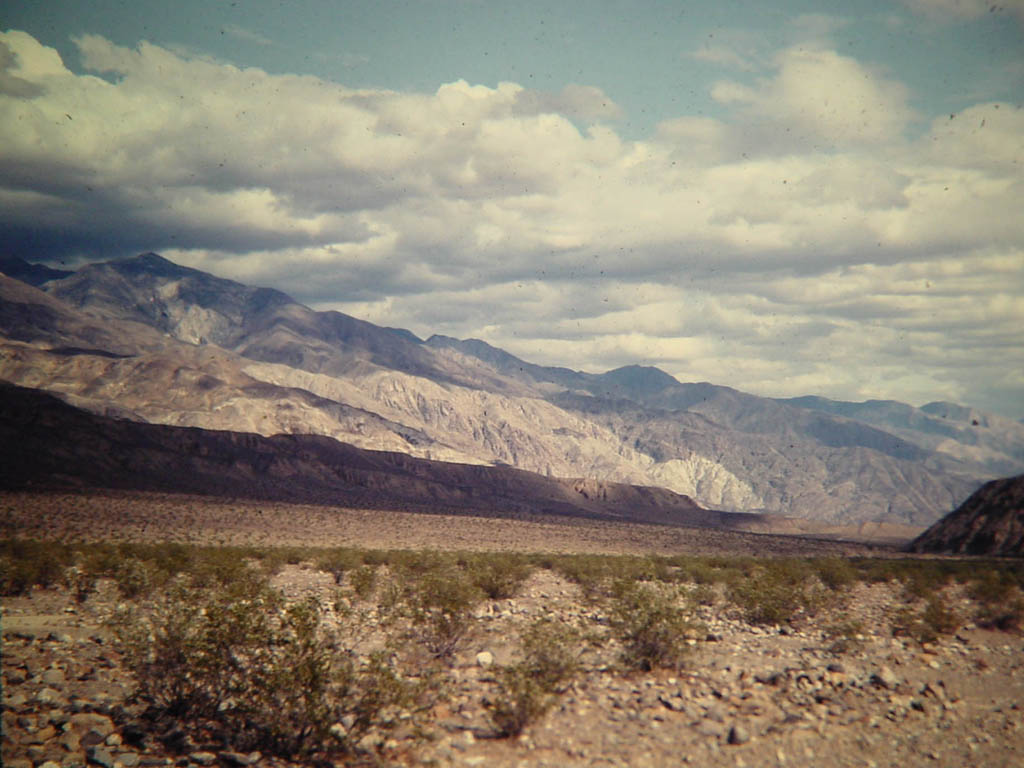
|

