| OTHER TOPICS -----> | Intro/Maps | Atmosphere | Climate / Hydrosphere |
| Biosphere / Soils | Tectonics | Specific Environments |
| INTRO AND MAPS CHAPTERS -----> | Earth Intro | Lat/Lon/Maps |
Latitude, Longitude, Maps
I. GRID SYSTEMS, MAPS, UCT, REMOTE SENSING
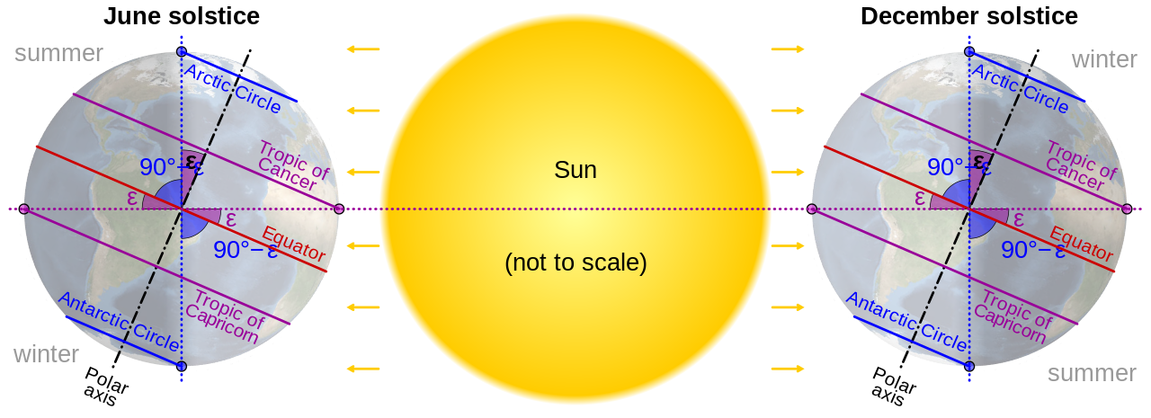
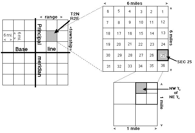
A. Grid Systems
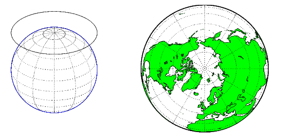
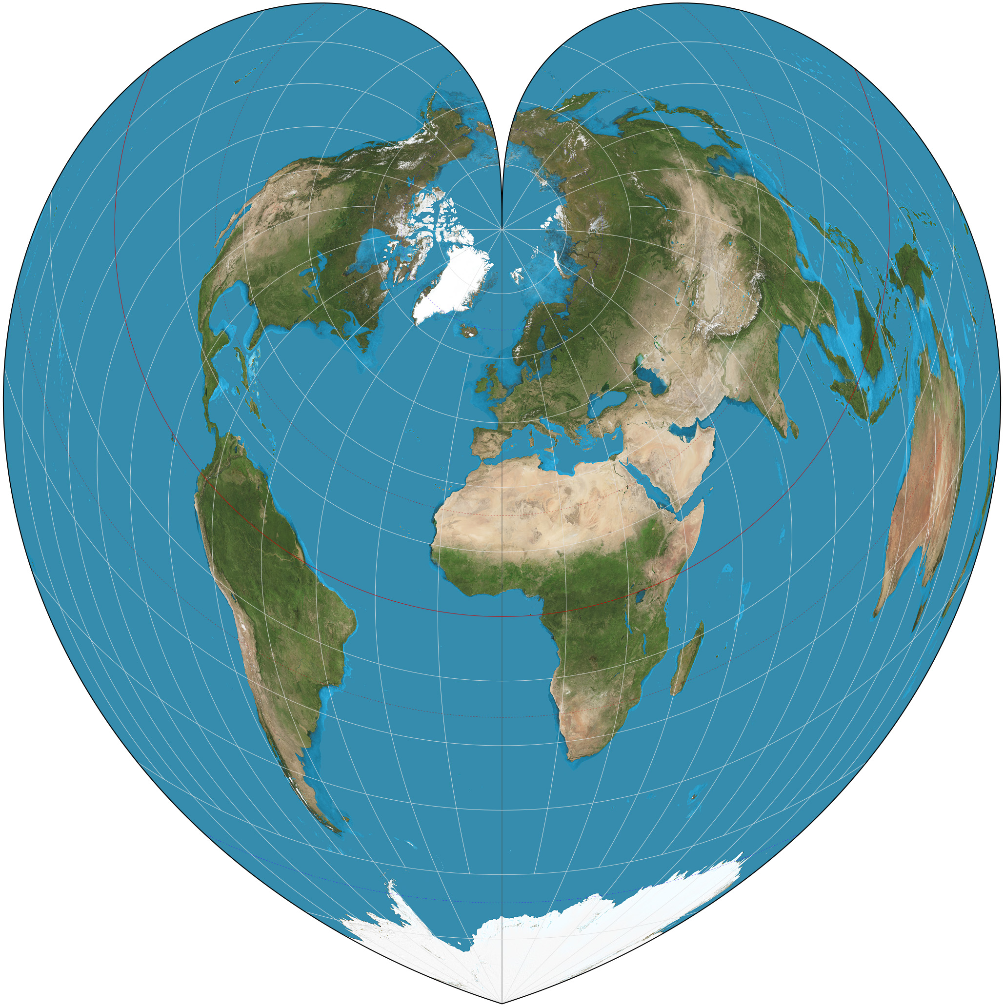
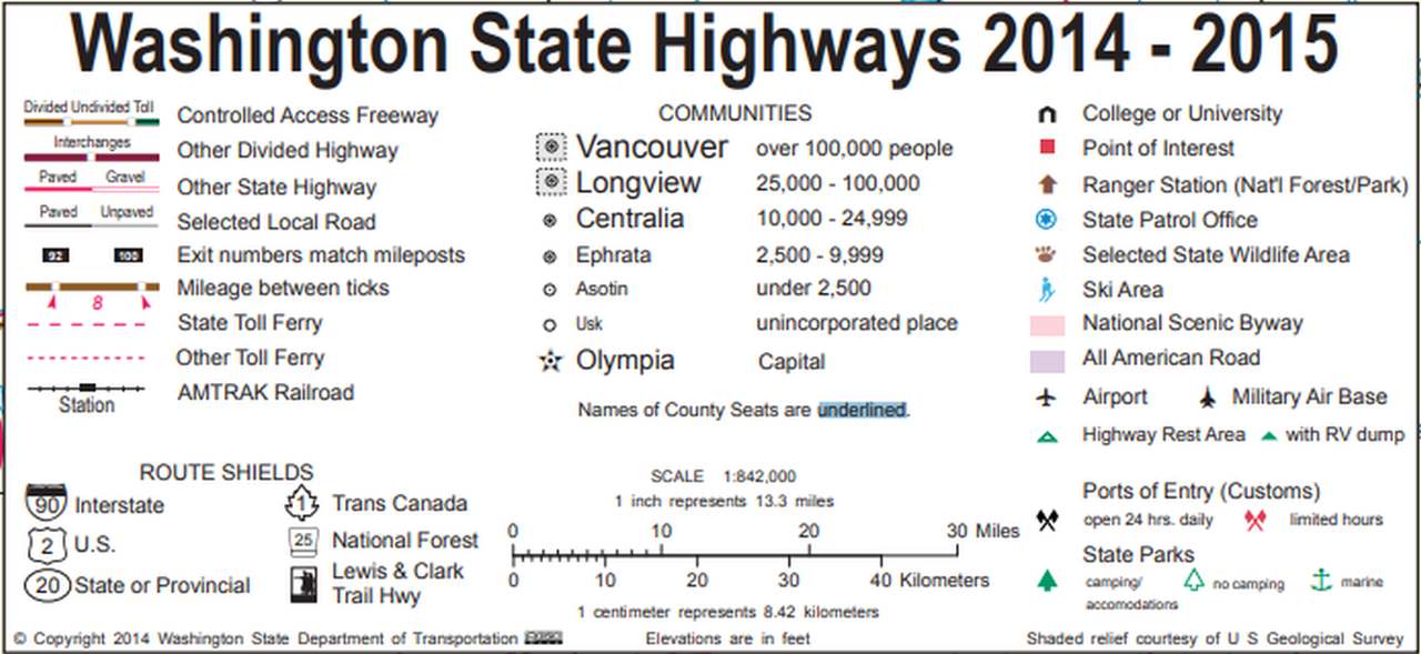
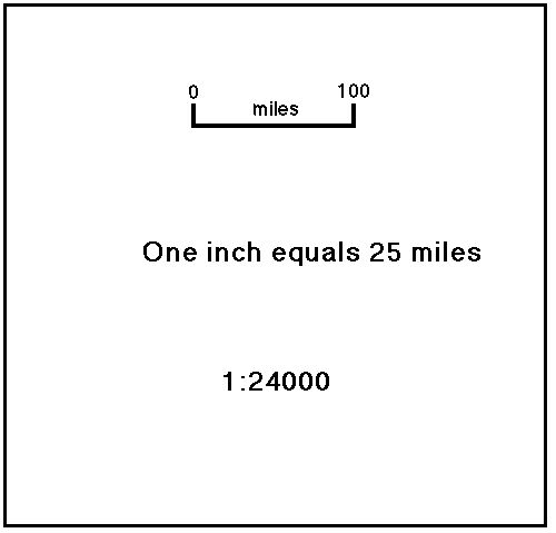
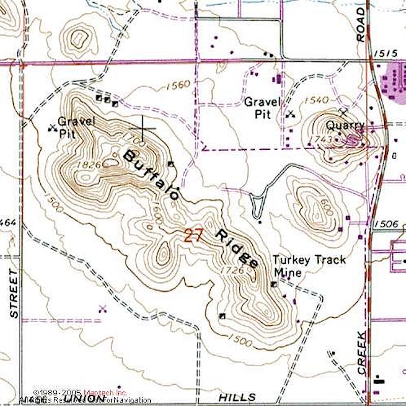
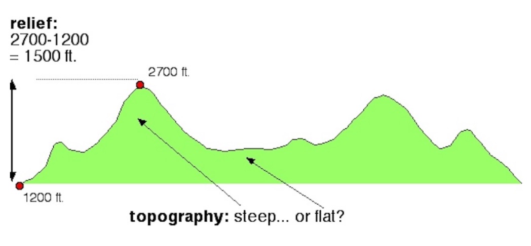
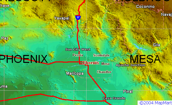
B. Maps
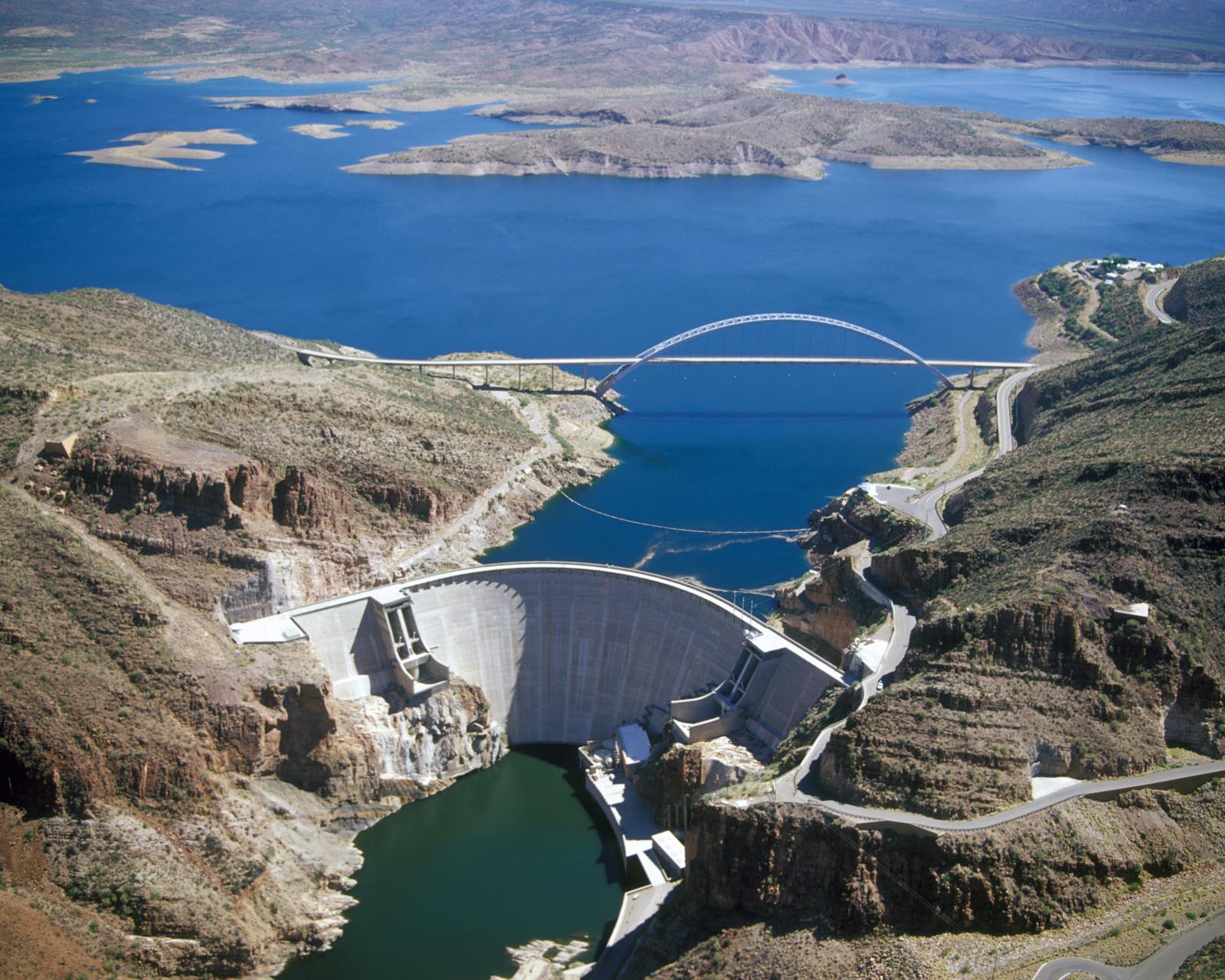
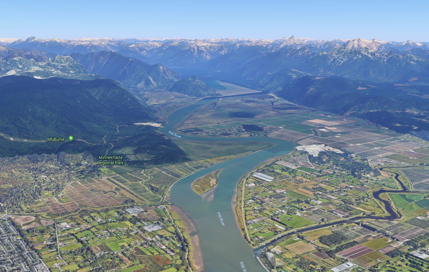
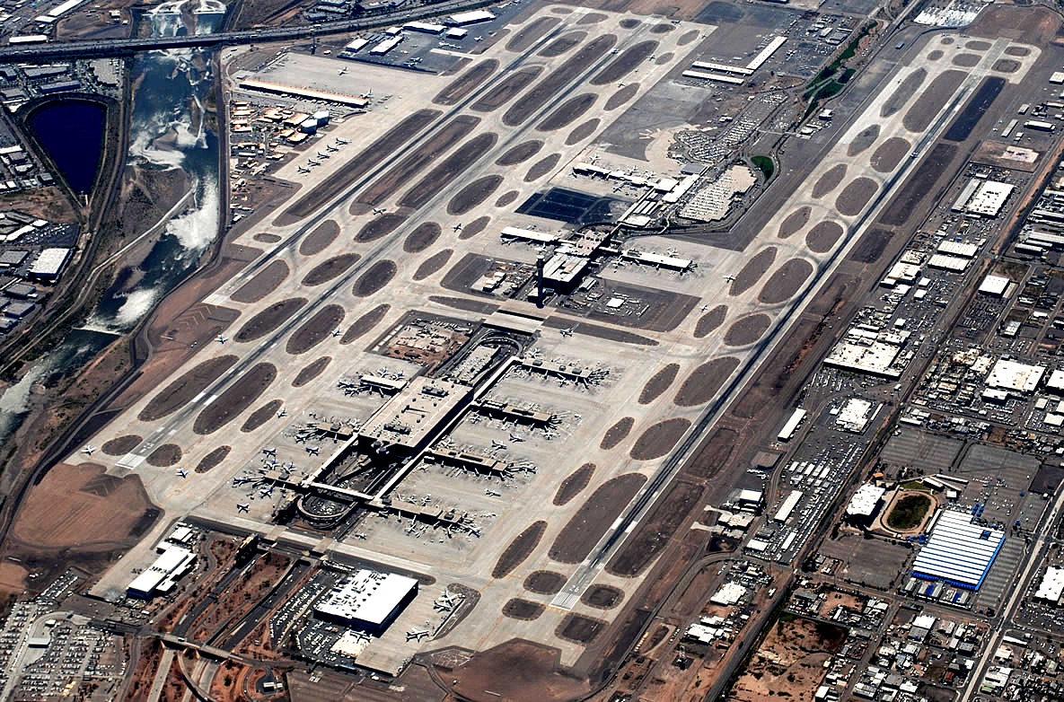
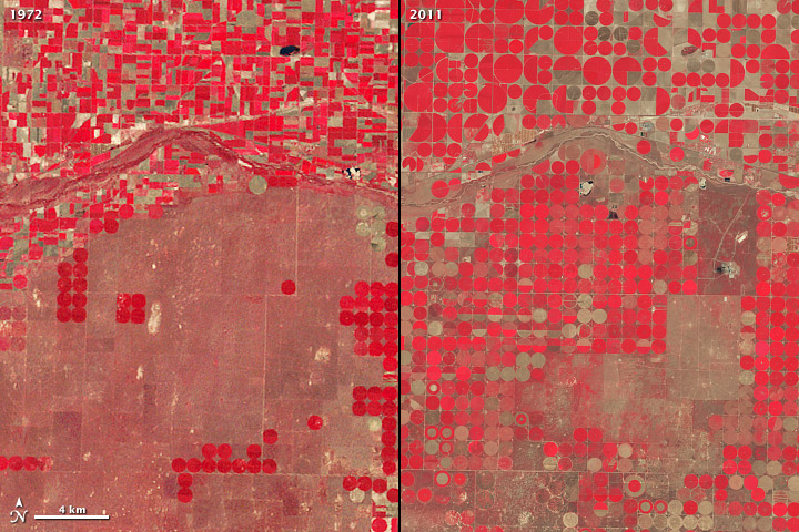
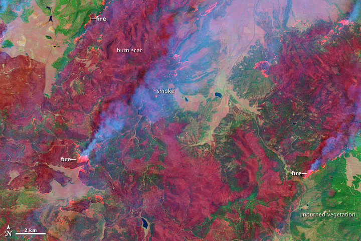
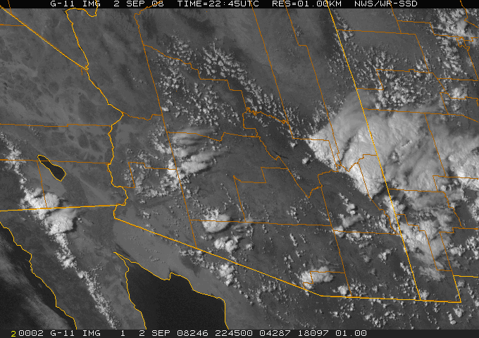
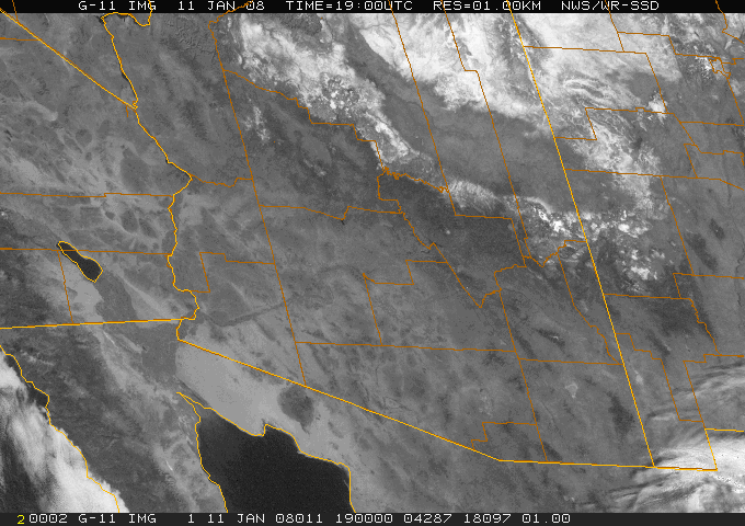
C. Remote Sensing
D. Systeme International (SI) -- Metric System
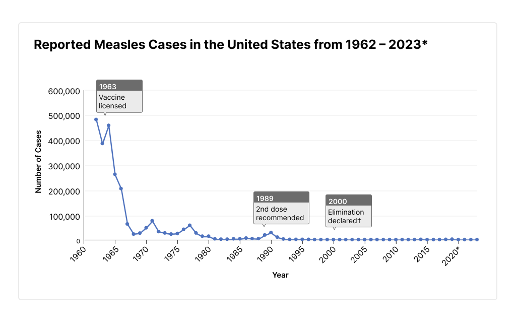
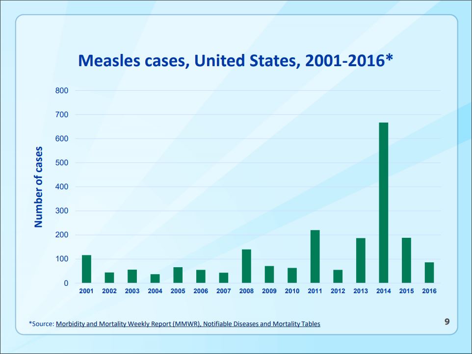
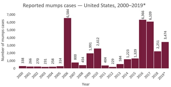
(Similar story with many other preventable diseases!)
| INTRO AND MAPS CHAPTERS -----> | Earth Intro | Lat/Lon/Maps |
| Next section -----------------------> | Atmosphere |