Condensation: Dew, Fog, and Clouds
I. CONDENSATION TERMINOLOGY
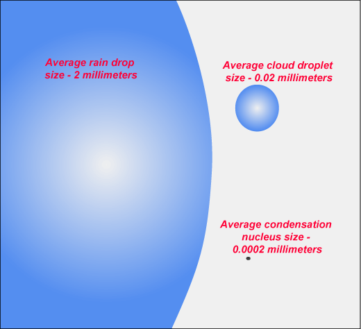
A. Condensation Nuclei
- hygroscopic (ex. salt, sulfuric and nitric acids)
- hydrophobic (ex. petroleum products, teflon)
B. Haze
C. Dew, Frost, Frozen Dew
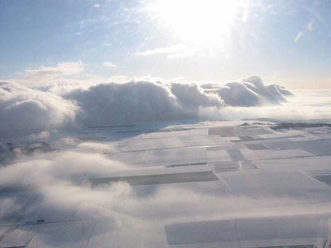
II. FOG
A. Types of Fog
- evaporation
- upslope (orographic)
- advection
- radiation
B. Distribution of Fog (avg fog days)
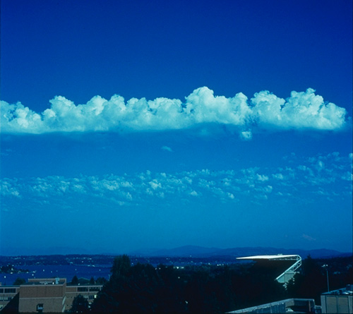
II. CLOUDS
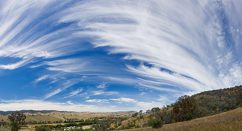
A. Cloud Types
- cirroform
- stratiform
- cumuloform
B. By Cloud Height
- high = cirro- (cirrostratus, cirrocumulus, cirrus)
- middle = alto- (altostratus, altocumulus)
- low = stratus, cumulus, stratocumulus, nimbostratus
- vertically developed = cumulus, cumulonimbus
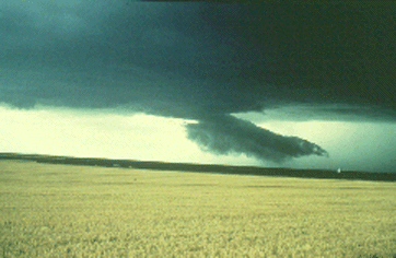
C. Specific Cloud Types
- cumulonimbus
- nimbostratus
- lenticular clouds ... time-lapse
- fractus ("scud")... another example ... video
- congestus
- mammatus... another example
- castellanus
- contrail ... another ... heavy air traffic
III. TECHNOLOGY AND CLOUDS
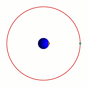
A. Geostationary Satellites (operation)
- 36,000 km above surface
- U.S. satellites
- GOES 8-12 = "retired" (12 currently used for So. America)
- GOES 15 = western U.S. and eastern Pacific
- GOES 13 = eastern U.S. and western Atlantic
- GOES 14 = currently in "orbital storage"
- GOES "R" (Dec 2015?), "S", "T", "U".......
- Other countries with weather satellites
- Europe
- METEOSAT-7 = serves Indian Ocean
- METEOSAT-9 = Europe/Africa (8 = backup)
- METEOSAT-10 = launch June 2012?
- Japan (nicknamed "Himawari")
- Russia = Electro-L / GOMS 2 (2011)
- China ("Fengyun")
- FY-2D, 2E, 3A, & 3B = operational
- India = INSAT3A, C, and E
- Korea: KOMPSAT-2 (2006); #3 in 2012?
B. Polar Orbiting Environmental Satellites (POES)
- much lower = 1000 km
- approx. 100 minutes / orbit
- current = NOAA-15 thru NOAA-19
- can be "sun-synchronous"
- passes over every part of the earth at the same time of day locally
- much sharper in detail esp. over polar areas
C. Computer Enhancement
- highlight weather details
- and impacts