| FORECASTING CHAPTER ----->
| Forecasting
|
Forecasting
I. PURPOSE OF AND DATA USED IN FORECASTS
A. Purpose
B. Affects
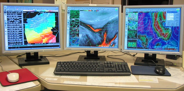
C. Data
- 11,000 land based stations
- ships / buoys and aircraft
- weather balloon data (1300 stations)
- satellite (Precip-water)
- fed through WMO centers
http://www.wmo.int/pages/prog/www/DPS/gdps.html
- Global: Melbourne, Moscow, Washington, D.C.
- ... plus 25 regional centers
- standardized station model and symbols (map example)
D. Agencies - an exercise in acronyms
- DOC → NOAA →
NCEP (Maryland)
- NWS → WRH (NWS regions) → WFO → CWA
- ASOS,
WSR88d (Doppler),
AWIPS, ......
- media ( Ch 5, Ch 10, Ch 12, Ch 15, national):
- meteorologist? "weathercaster"? "personality"?
- "watches" and "warnings" → ONLY NWS!!
II. FORECASTING METHODS AND TECHNIQUES
A. Persistence
B. Steady State or Trend
C. Analogue
D. Weather Types
E. Statistical / Probability Forecast (POPS
)
F. Climatology Forecast
III. ACCURACY, SKILL, AND MORE
A. Accuracy vs. Skill
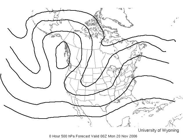
B. Numerical Weather Prediction
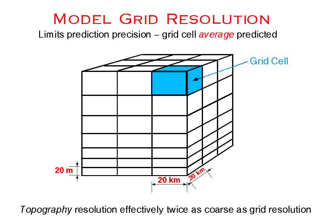
- atmospheric models - variables
- atmospheric models - acronyms
- GFS (replaced AVN / MRF)
- 0-192 hrs = -- 28km, 64 layers; 3hr forecast
- 192-384 hrs = 84 km, 64 layers; 12 hr forecast
- NAM/WRF (formerly ETA) -- 12km, 60 layers
- RAP ("rapid refresh") -- 13 km, 50 layers
- run every hour (updated ASOS obs.)
- computations take nearly one hour!
- NOGAPS -- 44km, 42 layer
- AFWA/MM5 ? 45/15/5 km, 40-57 layers
- GEM ("Canadian") -- 15 km, 58 layers
- ECMWF (16km/91), UKMET, JMA,....
- Ensemble forecasting
- "prog" = forecast chart = "guidance"
C. What is Forecast Based On??
- education / knowledge of processes
- compare computer output
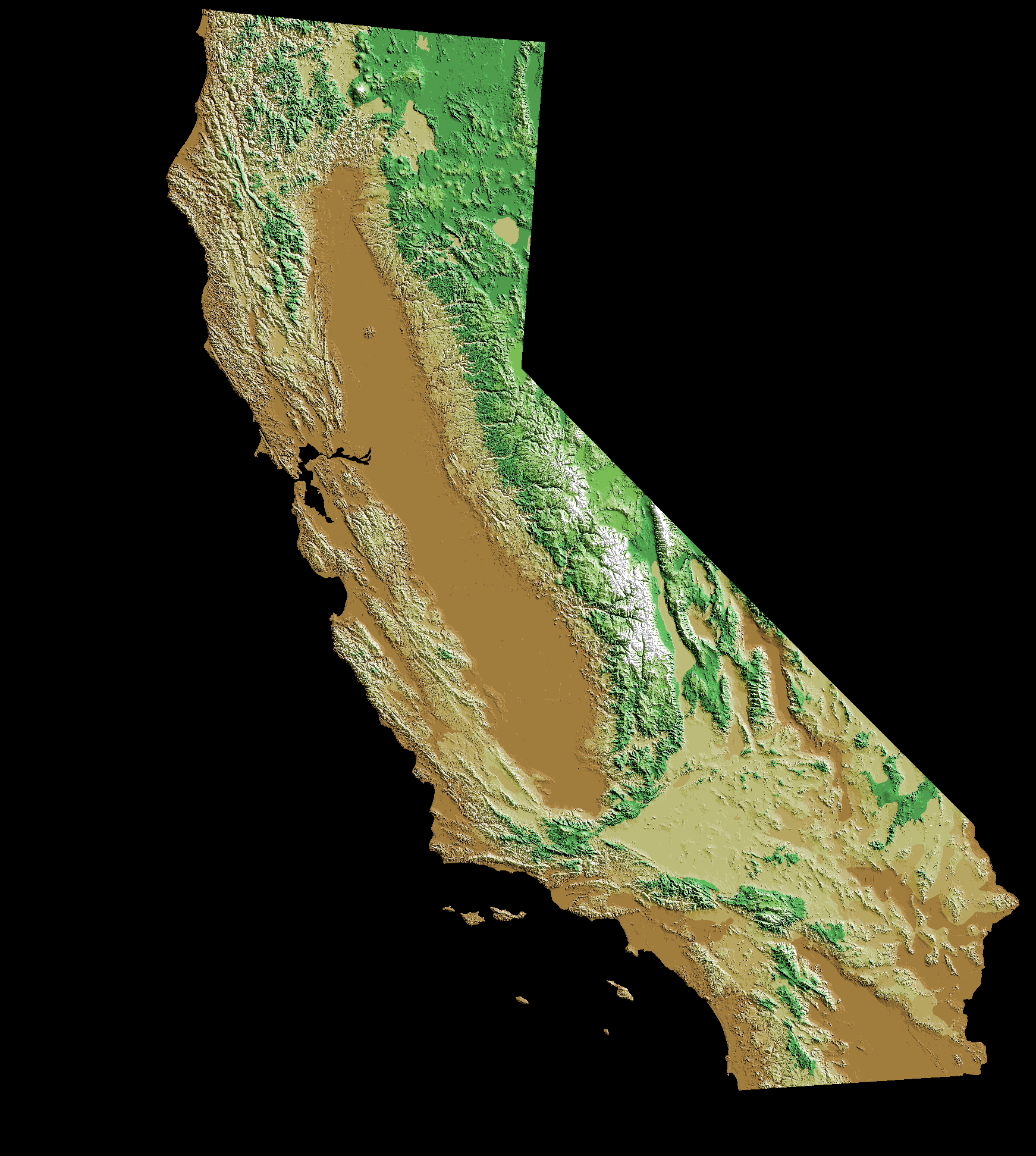
- local topography: AZ ... CA
- personal intuition
D. Weather Folklore
| FORECASTING CHAPTER ----->
| Forecasting
| Pollution
|