|
Follow the Water Stop 4 of 13 |
|
|
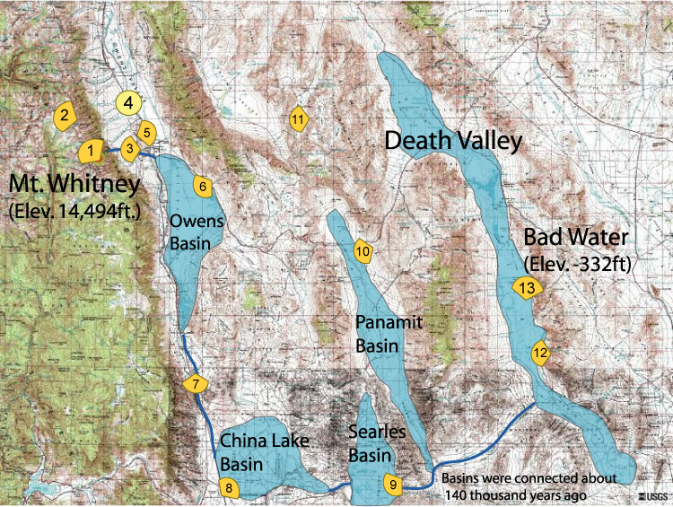
NAVIGATION: Introduction > STOP # 1 2 3 4 5 6 7 8 9 10 11 12 13
| GPH 211 - GEOMORPHOLOGY |
| MODULE FIVE - FOLLOW THE WATER |
|
Follow the Water Stop 4 of 13 |
|
|
|
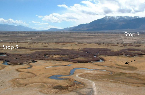
Follow the Water Stop 4 of 13 - Owens River from Above Stop
4 -
Meanders and Floodplain: For this stop, we
only have one place to
visit. With no other points of interest, this stop better be
good.
This elevated (oblique aerial) look at the Owens River shows a
fantastic
example of a
dynamic fluvial system. The river is flowing from right to left
in a meandering channel (denoted by the brown
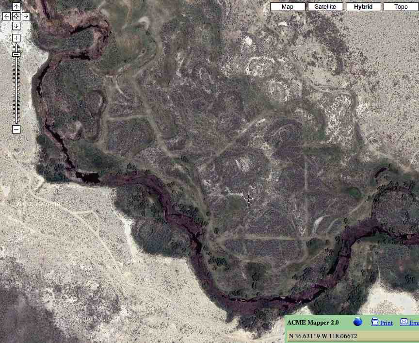
vegetation). Please visit the Acme
Mapper website: http://mapper.acme.com/ Then, in the white board
box, plug in these latitude and longitude coordinates: N 36.63119 W
118.06672. Lastly, zoom into the third highest
magnification. You will get a view that will look something like
this view:
This is why building homes near a river or stream is always risky, because the system is always changing. |
Viewshed Map: