|
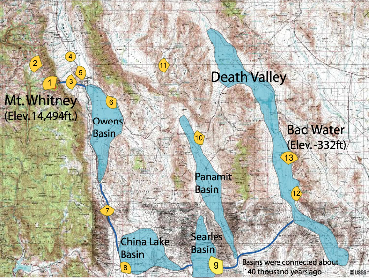
Follow the Water Stop 9 of 13 |
|
|
NAVIGATION: Introduction > STOP # 1 2 3 4 5 6 7 8 9 10 11 12 13
| GPH 211 - GEOMORPHOLOGY |
| MODULE FIVE - FOLLOW THE WATER |
|
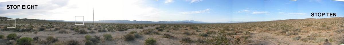
Follow the Water Stop 9 of 13 |
|
|
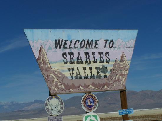
Follow the Water Stop 9 of 13 - Searles Basin
 Stop 9: 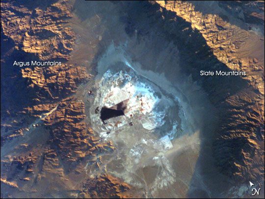 But again, most of the basin is off limits and part of a military base. We have a couple of things to check out before the journey continues to Panamint Basin.
|